

Continue the Journey
Heritage resources, research links, and discoveries inspired by our guided walk in Carrigaholt
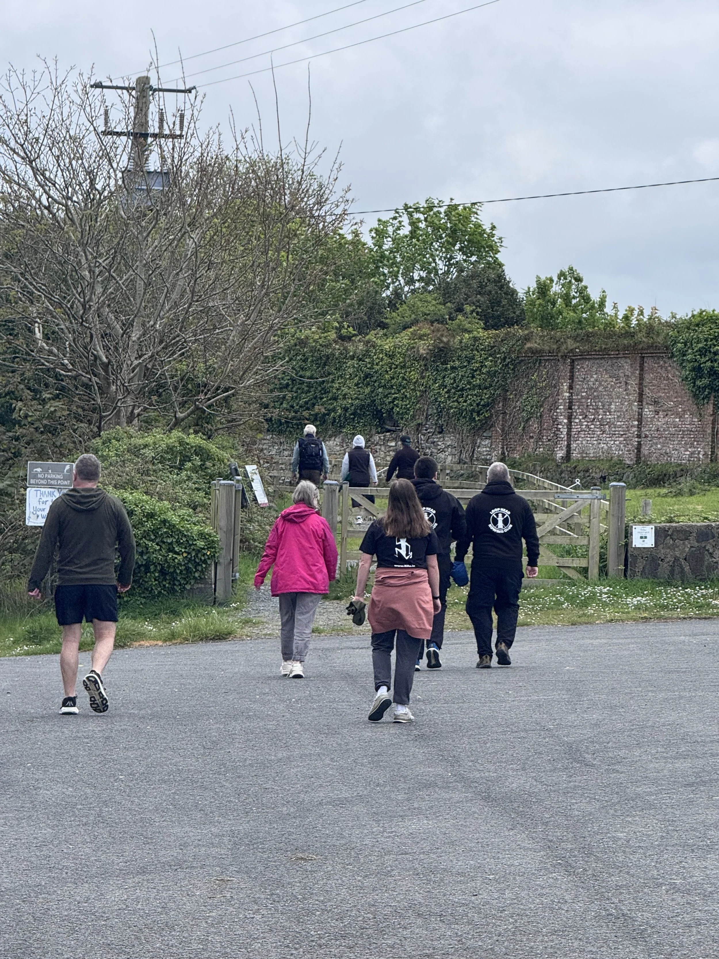
During our Heritage Keepers guided walk, local historian Robert Brown and marine archaeologist Dr Conn Herriott shared a remarkable range of stories, insights, research resources, and historical references connected to Carrigaholt and the wider Loop Head peninsula.
From Carrigaholt Castle and the old battery to holy wells, fairy forts, maritime archaeology, coastal settlements, and the changing relationship between the community and the sea, the walk sparked huge curiosity and discussion amongst participants. Many people asked where they could continue exploring these themes afterwards.
We are delighted to gather some of those resources together here in one place for ease of reference. We hope this collection helps visitors, local residents, researchers, students, and heritage enthusiasts continue the journey of discovery long after the walk itself has ended.
Indeed, since our amble, we recalled an excellent programme by Pat Flynn of Clare FM. His broadcasts, aptly named Atlantic Tales are mines of information. Future social documents, they are a treasure. Check out all the episodes of course, but via episode 143 you will get to hear the dulcet tones of Robert! Episode 216 is a topper too- it features……..us! Loop Head Rowing Club.
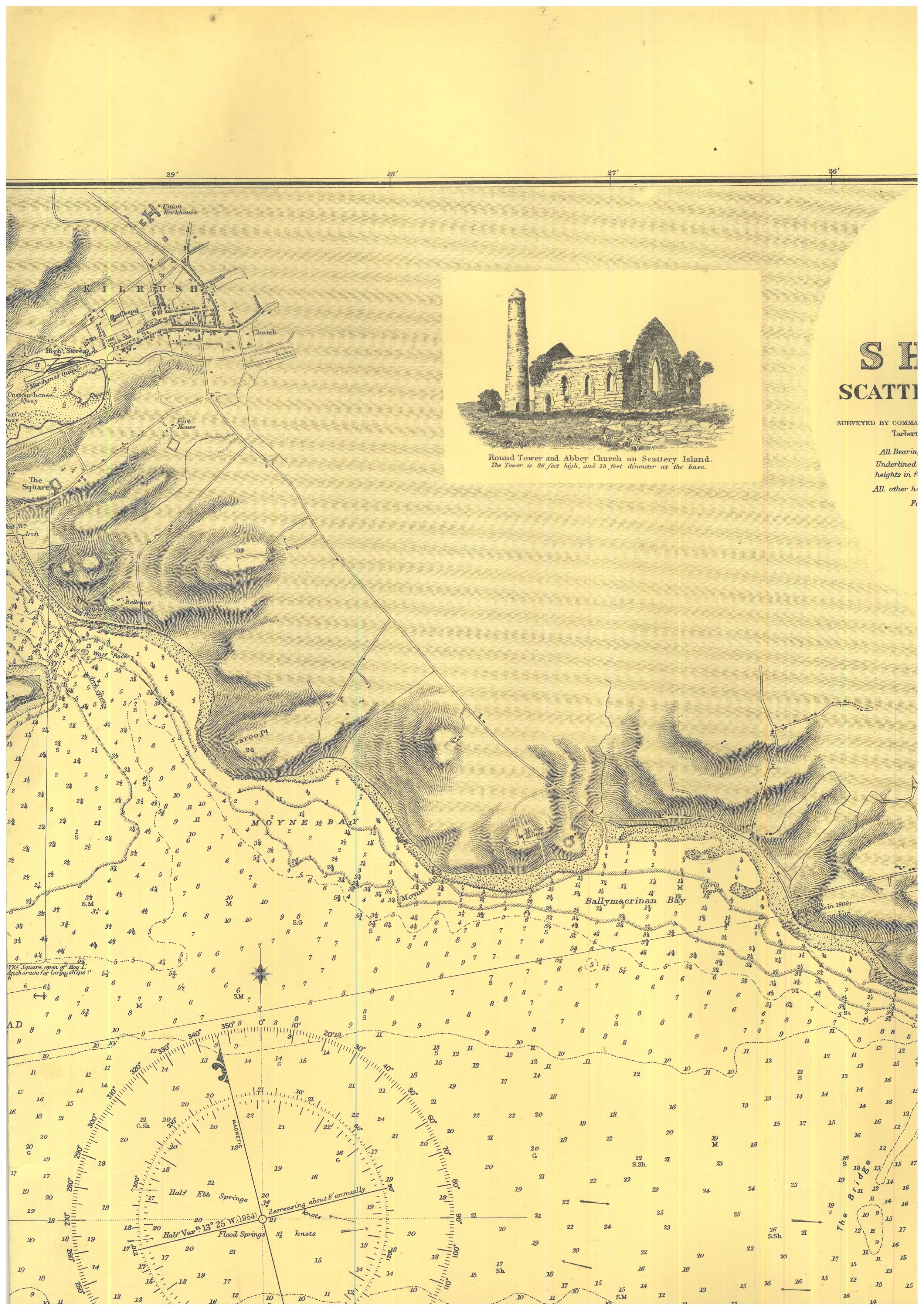
The interpretive board offers a snapshot of these stories. The resources below provide opportunities to dig deeper into the archaeology, maritime heritage, folklore, and historic landscape that continue to shape this special corner of Ireland.
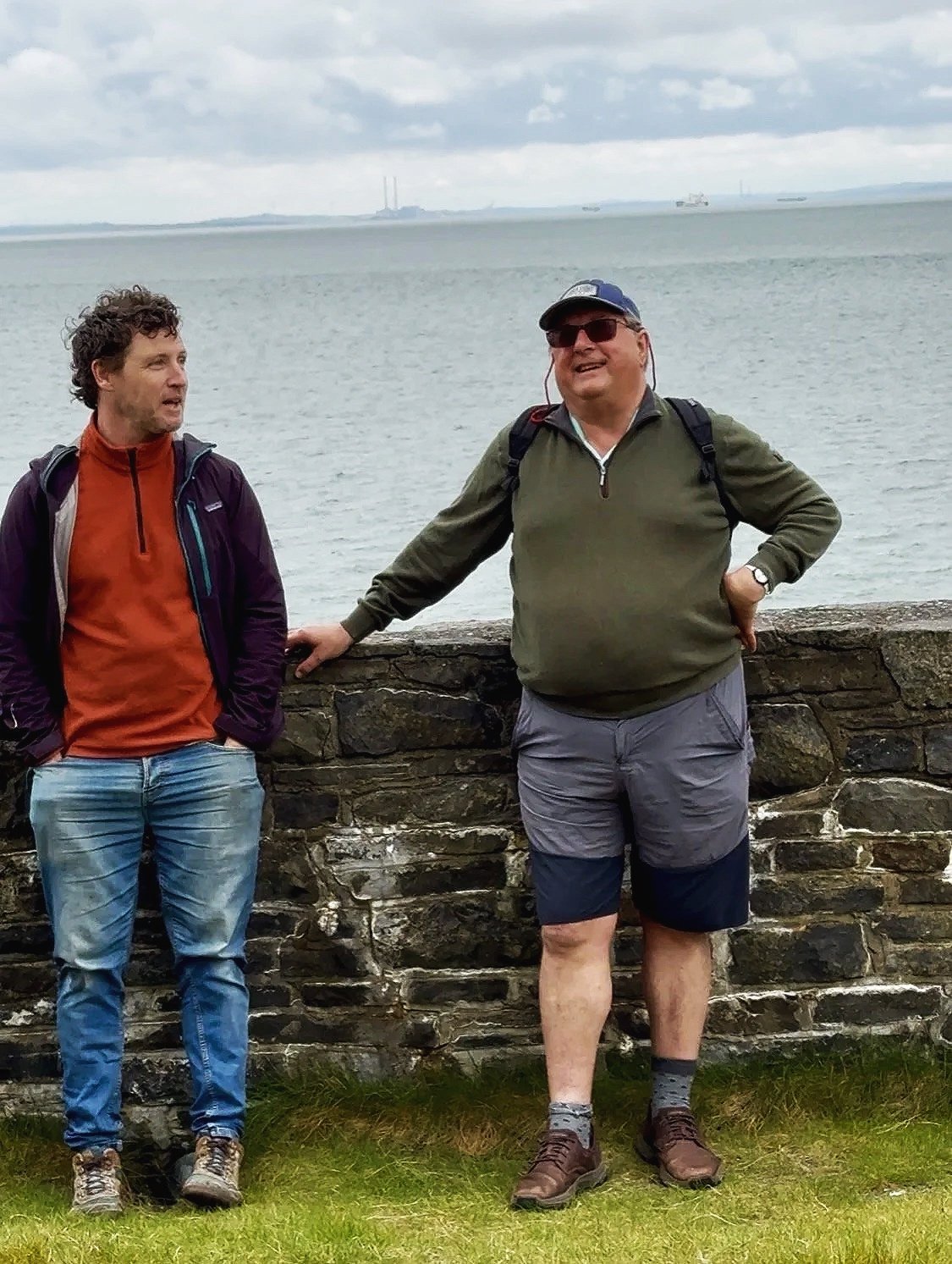
Dr Conn Herriott & Robert Brown at Carrigaholt Castle
Source: Heritage Keepers

Carrigaholt Castle
Source: Heritage Keepers
Archaeology & Excavation Records
Discover archaeological investigations, excavation summaries, research archives, and historical discoveries connected to Ireland’s historic landscape.
On archaeology.ie
What you’ll find
A searchable archive of archaeological excavation summaries from across Ireland.
Why it connects to our walk
Many of the sites and themes discussed during our guided walk, including defensive structures, settlements, ringforts, ecclesiastical sites, and coastal activity areas, may appear within excavation records and archaeological investigations listed here.
This is an excellent starting point for exploring what has been uncovered beneath the landscape around Carrigaholt and the wider Loop Head peninsula.
On Digital Repository of Ireland
What you’ll find
A major digital archive containing excavation reports, maps, photographs, heritage collections, and research material.
Why it connects to our walk
This archive helps place Carrigaholt and Loop Head within the broader archaeological and historical story of Ireland’s coastline, settlements, and maritime communities.
Particularly useful is the Transport Infrastructure Ireland archaeological collection, which contains detailed excavation reports and heritage documentation from across the country.
On the Archaeological Survey of Ireland Collection Section of archaeology.ie
What you’ll find
Information on accessing archaeological collections and archived excavation reports held by the National Monuments Service.
Why it connects to our walk
Some archaeological reports are not fully available online. This resource explains how researchers and members of the public can request access to archived reports and collections for deeper study.
For anyone wishing to further explore the archaeology of Carrigaholt, Loop Head, and the surrounding coastal landscape, this is an invaluable resource.
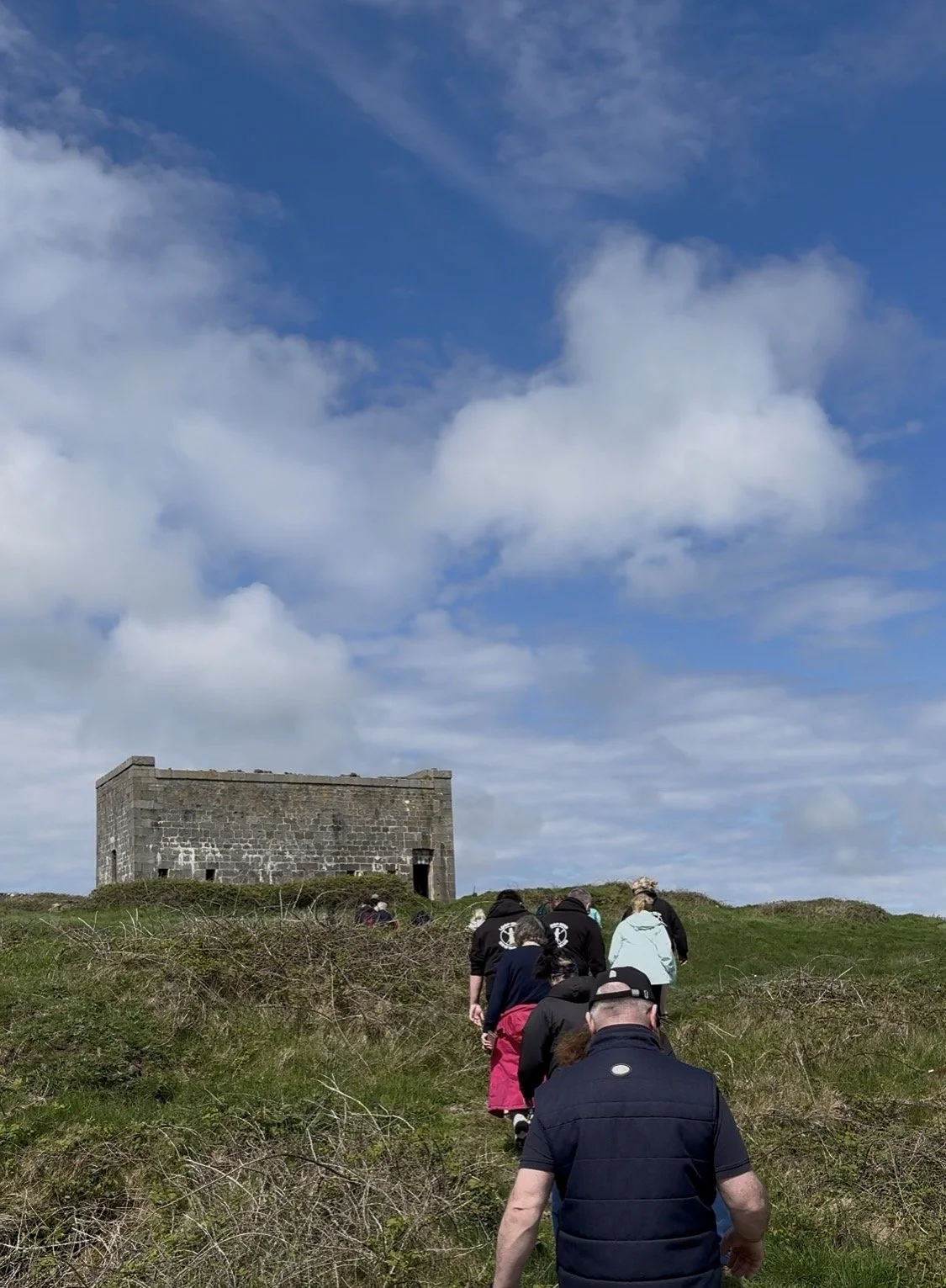
The Battery
Source: Heritage Keepers
Mapping the Historic Landscape
Explore interactive maps that reveal the hidden archaeological and historical layers of the Irish landscape.
On Historic Environment Viewer
What you’ll find
An interactive map showing recorded archaeological monuments and historic sites throughout Ireland.
Why it connects to our walk
This viewer is particularly useful for exploring the wider heritage landscape surrounding Carrigaholt, including ringforts, tower houses, batteries, churches, holy wells, and other recorded monuments discussed during the walk.
The landscape around us contains layers of history, many of them hidden in plain sight.
The Battery
Source: Heritage Keepers
The Battery
Source: Heritage Keepers
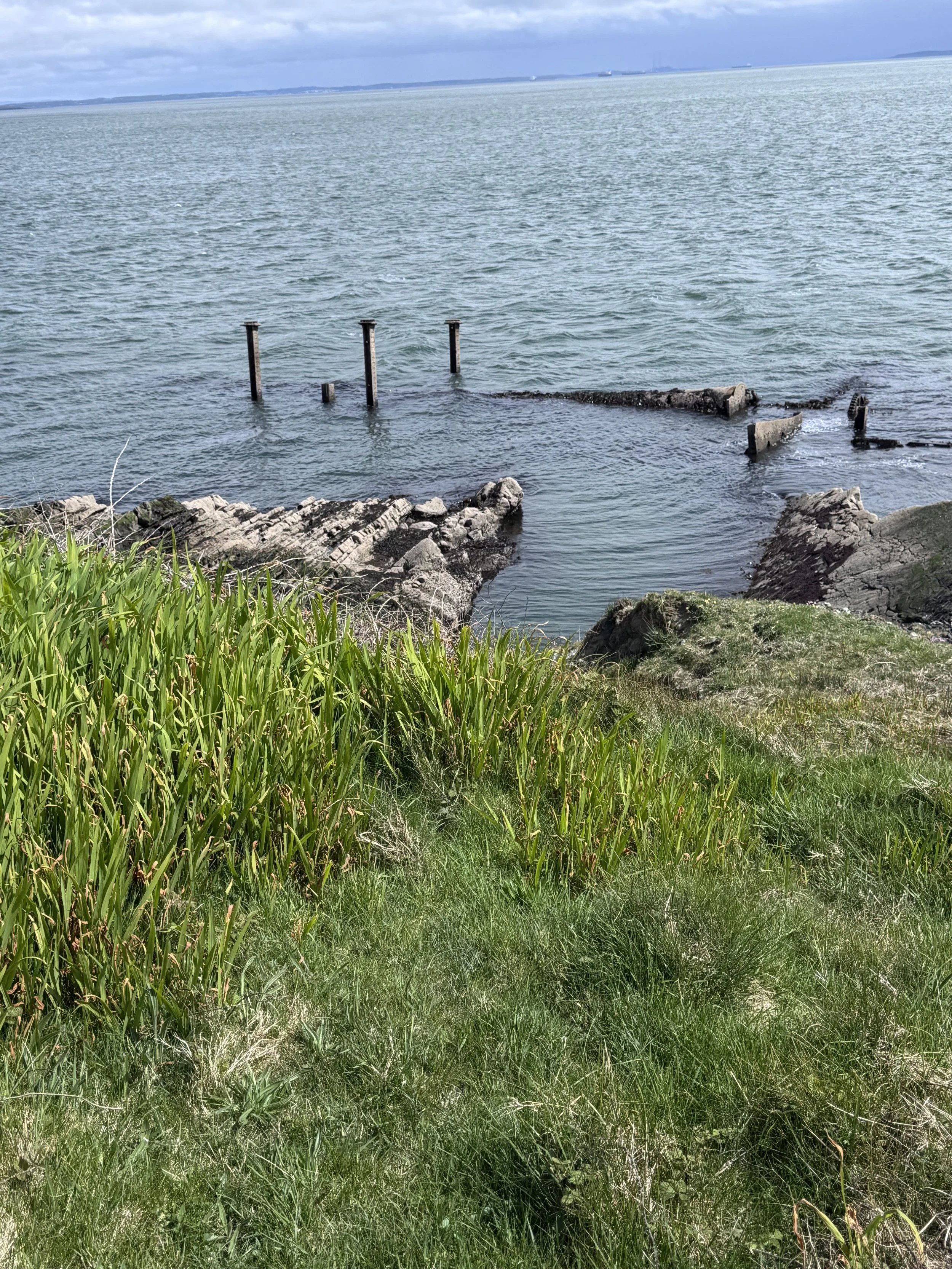
The wreck of the Okeanos, Kilcredaun Point
Source: Heritage Keepers
Maritime History & Underwater Archaeology
The waters surrounding Carrigaholt and the Shannon Estuary have shaped local life for centuries, through fishing, trade, navigation, rescue traditions, and seafaring heritage. Situated on the Shannon Estuary and so close to the Atlantic Ocean, these waters have long been both a vital route for seafarers and an area of considerable danger, with many shipwrecks recorded along this coastline throughout history.
On Wreck Viewer
What you’ll find
An interactive map showing known shipwreck locations around the Irish coastline.
Why it connects to our walk
Our project explored the deep relationship between this community and the sea. This resource helps reveal the hidden archaeology beneath the waters surrounding Loop Head and the Shannon Estuary.
It offers a fascinating insight into maritime travel, coastal dangers, trade routes, and centuries of seafaring history along Ireland’s Atlantic edge.
On Irish Wrecks Online
What you’ll find
Historical records and information relating to shipwrecks around the Irish coast.
Why it connects to our walk
This resource deepens many of the maritime themes explored throughout our project, linking local waters to stories of trade, navigation, fishing, survival, and loss at sea.
It also helps place Carrigaholt’s maritime story within the broader history of Ireland’s western coastline.